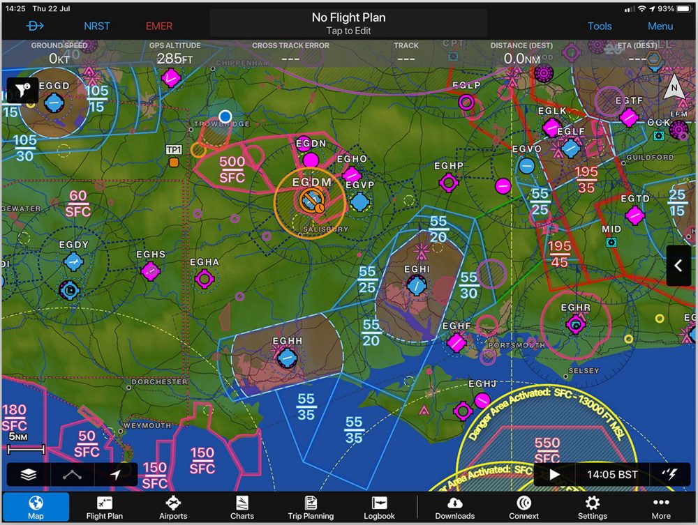
The latest version of Garmin’s Pilot navigation app has become more Europe-friendly with the display of airspace using ICAO colours.
The airspace colours are popular in country charts, such as DFS or IGN, and are automatically enabled for users with a Garmin Pilot Europe Standard licence.
The new version 10.5 also includes graphical depiction of runway and airport closures on the dynamic map or SafeTaxi diagram, in full or split-screen mode.
Terminal NOTAMs are displayed throughout Garmin Pilot, including the airport page, procedures and airport diagrams as well as integrated within the flight planning process.
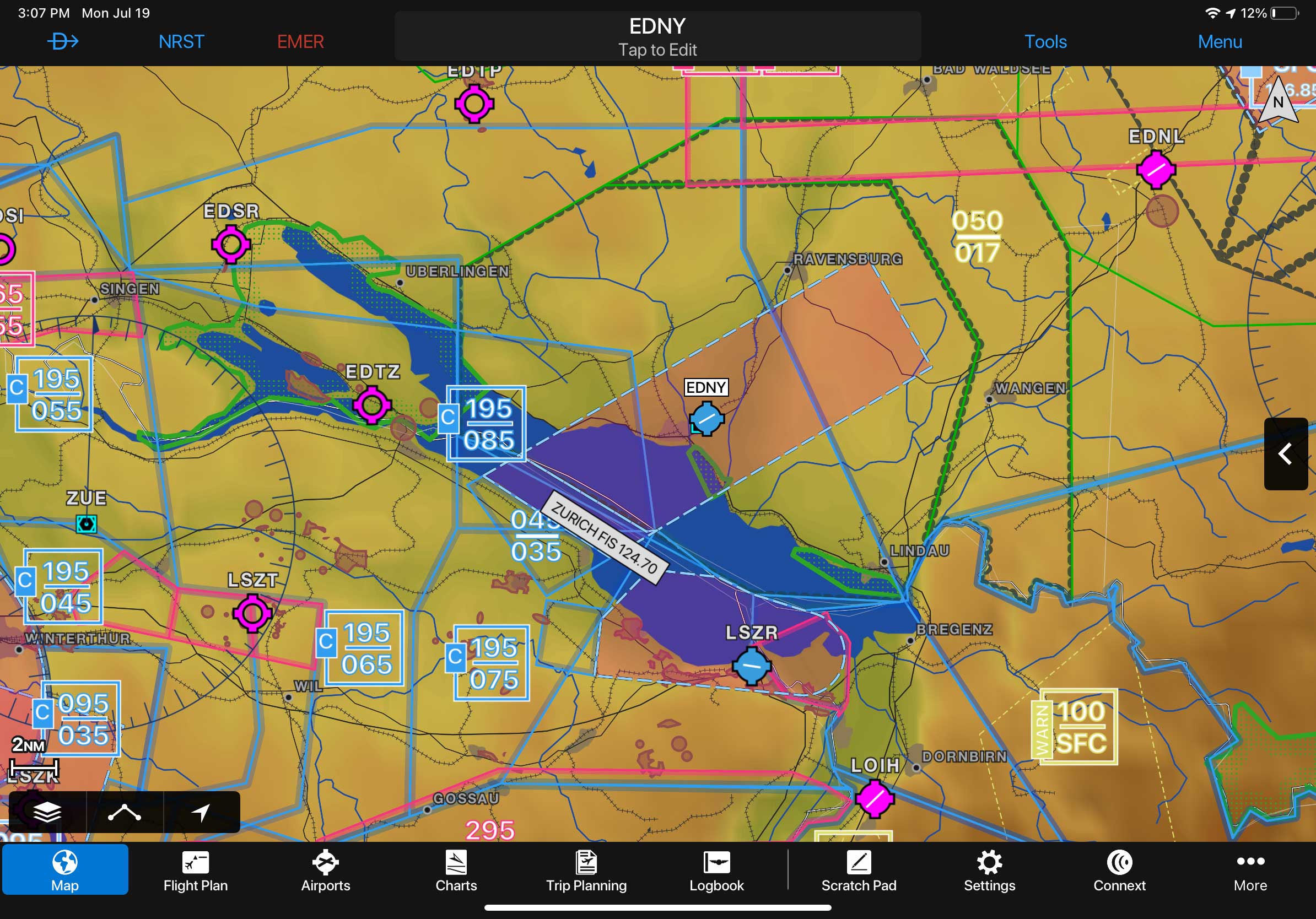
Garmin’s Pilot navigation app now comes with ICAO standard airspace charts for Europe
Other new features
- Terminal Aerodrome Forecasts (TAF) and Model Output Statistics (MOS) are now displayed as colour coded overlays on the dynamic map or aeronautical chart.
- Embedded annotations within PDFs can now be viewed on the document viewer.
- Text annotations and undo/redo capability are now available when using the scratch pad or annotating charts/documents.
Garmin Pilot 10.5 is available now for iOS® mobile devices. For new customers, Garmin Pilot is available in the Apple App Store as a free download for the first 30 days.
Garmin